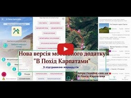
Trekking Carpathians offers a comprehensive tool for navigating the Ukrainian Carpathians, focusing on hiking and backpacking. Its primary feature is an interactive topographic map that enhances your trekking experience. This app provides offline mode support, allowing you to navigate without an internet connection, acknowledging the limited mobile internet coverage in the Carpathians.
Efficient Navigation and Usability
Trekking Carpathians ensures efficient use of your device’s battery by activating GPS only during active use. You have control over storage by downloading offline maps for either the entire region or specific areas. This feature makes managing space on your mobile device intuitive and efficient.
Additional Tools and Features
The app extends beyond navigation by offering a directory of towns and information on local public transport, which aids in planning your journey effectively. It also provides weather forecasts for selected areas, ensuring you stay informed about weather conditions in different towns within the Carpathians.
Interactive User Engagement
Trekking Carpathians encourages interactive user engagement, allowing you to exchange photos and comments about map objects, places, and towns. It offers a quick search for water sources, buildings, rescue locations, and points of interest. This enriches your trekking experience by connecting you with other users and enhancing your exploratory adventures.
Requirements (Latest version)
- Android 5.0 or higher required


Comments
There are no opinions about Trekking Carpathians yet. Be the first! Comment